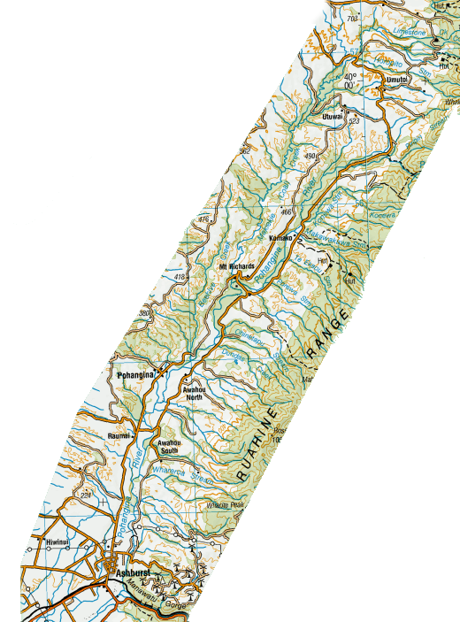
Pohangina Valley
The Pohangina Valley lies east of the Ruahine Range, and stretches from Ashhurst in the South to Umutoi in the North - just under 40 km in a direct line, or 44 kilometres by road (Google Maps). The river that flows through it carries the name Pohangina, and flows into the Manawatu River at Ashhurst.
From the South, you will find the settlements of Raumai, Awahou South, Awahou North, Pohangina, Komako, Mt Richards, Utuwai, and Umutoi. The road north out of Umutoi leads to Apiti.
The only school in the Valley now is Awahou North school. Will falling rolls, the two schools at Awahou South and Komako merged with Awahou North in 1971 to become Awahou School.
The school at Pohangina opened in 1887. At one time, it had two teachers and an average roll of 74 pupils. The school closed in 1972.
There are two churches in the Valley. St Bartholomew's Anglican church at Komako, and The Pohangina Community church in Pohangina.
There was once general store at Raumai (1902-1948) and one at Pohangina (also Post Office and Telephone exchange), and there was a small store and postal agency at Takapari Road, near where the road crosses the Pohangina River near Piripiri.
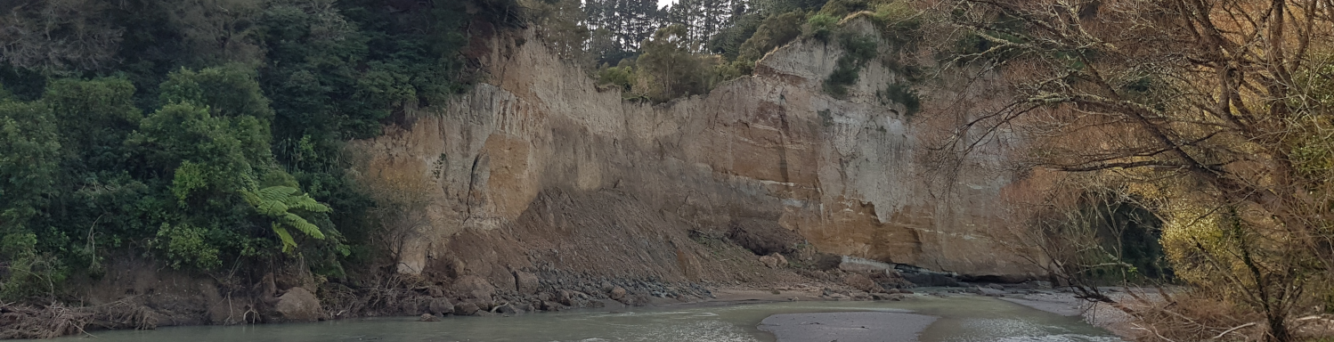
The Totora Reserve picnic grounds and the Rangi Woods Camp grounds offer a quiet place to get away from it all. The Churchill Road bridge over the Pohangina River was washed away in the 2023 floods.
Which means if you want to visit, you have to go north on the western side from Pohangina, or go north to Umutoi and come south on the eastern side to Mt Richards.
Walking paths and hiking trails are dotted all over the Pohangina Valley, with some of the more common ones being the Fern walk, The Pettifar and Gilchrist loop track, the Totora Reserve Nature trail, the Number 1 line walking track, Beehive Creek walkway, the Kahikatea Walkway.
There are only a few places for refreshments, but check their websites before you go!
County Fayre in Pohangina is open occasionally in the weekends, and the Apiti Tavern is Thursday to Sunday.
Springvale Garden B&B, Makoura Lodge and Pohangina Heights are more setup for events and accomodation.
ManawatNZ has a great interactive map sowing places of interest in our area with links to other useful sites and maps.
Before you tour, view the current road status on the Manawatū District Council website.